Focus Topography
The Antwerp Keizerskapel is getting a new setup! This time, it features a remarkable selection of masterpieces from The Phoebus Foundation collection, including a world map and an atlas, displayed alongside a double-sided surveyor’s circle and a reduction compass from the early 17th century.
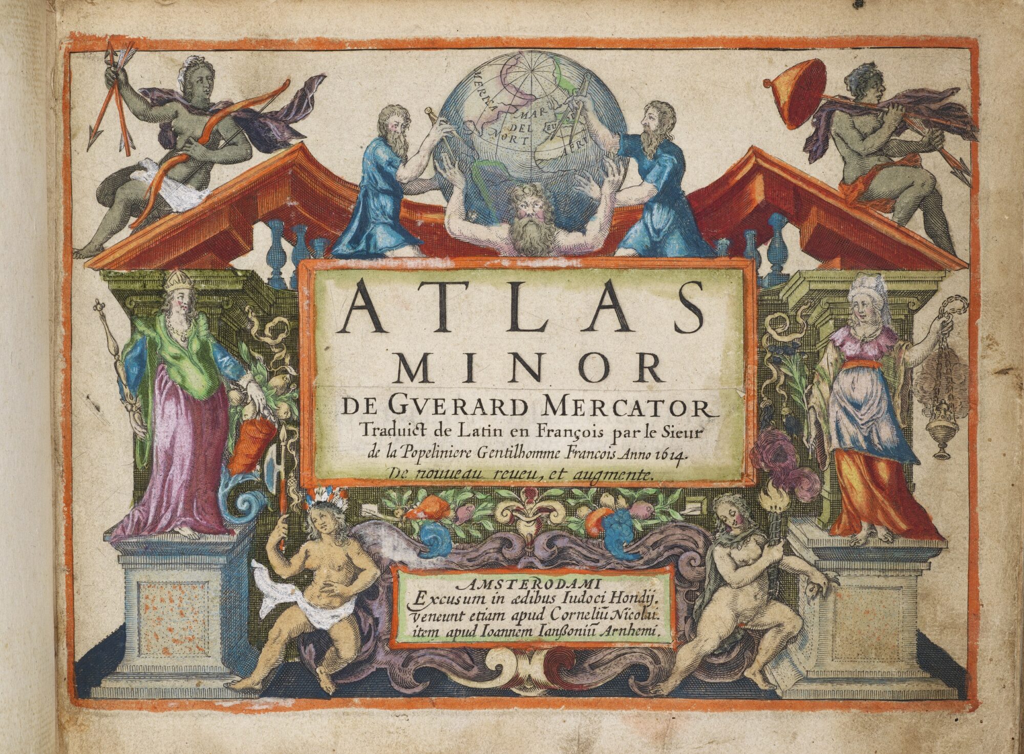
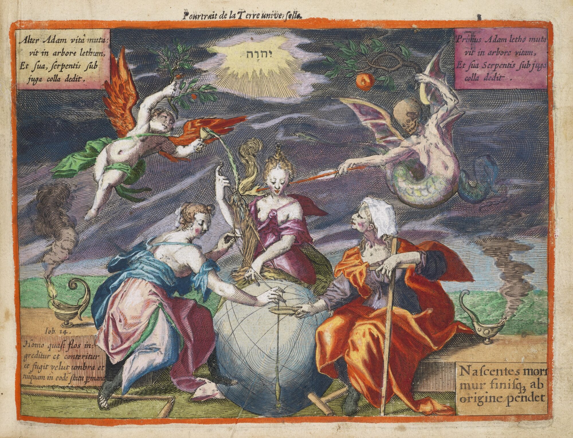
The Atlas Minor by Gerard Mercator and Jodocus Hondius is a printed masterpiece filled with beautiful illustrations that not only depict historical borders but also showcase the beauty of cartography. At the same time, Rumold Mercator built upon and expanded the groundbreaking work of his father, Gerard Mercator. Finally, the double-sided surveyor’s circle and the reduction compass transport you back in time. Without these instruments, topography today would likely look very different!
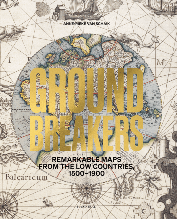
During the exhibition, you also have the opportunity to purchase the book Groundbreakers – Remarkable Maps from the Low Countries, 1500–1900 by Anne-Rieke van Schaik, a fascinating exploration of cartography in the Low Countries. Here is a short excerpt from the book to pique your curiosity:
Gerardus Mercator owed his fame, among other things, to the cartographic projection that bears his name (ERSD p. 202). He presented his projection via a monumental world map running to no fewer than eighteen sheets, which he engraved in his workshop and published in 1569: Nova et aucta orbis terrae descriptio ad usum navigantium emendate accomodata (‘A new and improved representation of the world for accurate navigation’). Only three original copies of the map still exist.
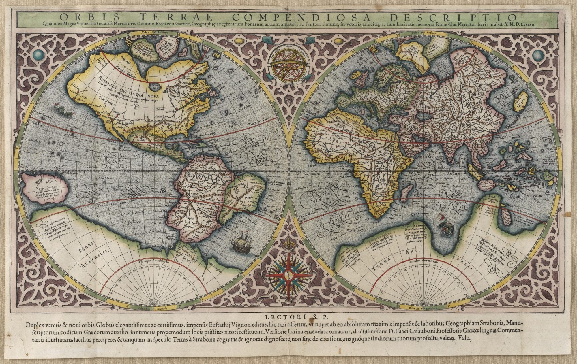
Gerardus’s son Rumold Mercator produced a world map in 1587, commissioned by Isaac Casaubon (1559-1614) for his critical edition of Geographika by the Greek geographer and historian Strabo, which was published in Geneva in 1587. Rumold based his map on his father’s huge and famous one of 1569 but reduced it in size considerably and applied stereographic rather than cylindrical projection. This method utilises lines drawn from a point on the sphere diametrically opposite the plane of projection. While the convex shape of the earth is flattened as a result, it retains its round shape, so that the poles are not as distorted as they are in the Mercator projection. World maps of this type would be adopted in the Mercator and Mercator-Hondius atlases published between 1595 and the 1630s.
Want to know more? Discover the complete book here:
The chapel is open Saturday and Sunday, from 1-5 p.m. Admission is free.